Conroe Denied More Time for a 133-Acre Plan—Here’s What Is Already on File
Conroe denied a second extension for a 133-acre mixed-use plan near FM 3083 and SH 75. Here is what the vote changes—and what remains on file.
A deadline, not a demolition order: the vote puts the old preliminary plat’s clock—and its proposed road connections—back in the spotlight.
A deadline, not a demolition order
A large mixed-use development on Conroe’s east side just lost its request for more time.
On October 8, the Conroe City Council voted 5-0 to deny a variance for a second extension of the preliminary plat for Stewart’s Creek Preserve. The decision matters because the preliminary plat covered roughly 133 acres north of FM 3083 and east of State Highway 75—but the vote should not be mistaken for cancellation of every piece of development associated with the property.
What the council denied was additional life for an older preliminary plat. If the developer wants to move forward with portions that still depend on that plat, those pieces may have to return through the city’s current review process. Work covered by separate approvals or permits is a different question.
What the 2023 plan showed
The Planning Commission’s August 17, 2023 minutes describe a 132.762-acre mixed-use subdivision in the John L. Cross Survey. That preliminary plat proposed 135 lots, 24 reserves and three blocks.
The same record placed the site north of FM 3083 and east of SH 75. It also showed two planned connections to East Wally Wilkerson Parkway: Stewart Springs Street and Arbor Creek Street.
Those access points are the part nearby drivers should remember. Even when the number or type of homes changes, the practical question for residents is where the new traffic enters the existing road system.
The public numbers do not all describe the project the same way
The development appears under both “Stewart’s Creek Preserve” and “Stewarts Creek Reserves” in public-facing records. Cooke Management describes its version as a 131-acre master-planned community with approximately 250 single-family homesites and a multifamily apartment community.
Texas accessibility filings add more detail to the multifamily portion. One filing at 245 Shallow Creek Street describes a 295-unit community in 11 buildings. A second filing at 225 Shallow Creek Street describes 121 two-story apartment townhomes in 19 buildings, along with parking, garages and amenity space.
Together, those two filings describe 416 residential units. They are useful for understanding the scale being contemplated, but a TDLR accessibility filing is not the same thing as a city building permit, a certificate of occupancy or proof that every unit has been completed. The filed construction dates can also change.
What the denial changes—and what it does not
The October vote closes the door on a second extension of the old preliminary plat. It does not automatically erase separately approved plans, stop every active permit or prove that the entire 133 acres will remain undeveloped.
It does mean the city has declined to keep the original plat alive for another round. Any new submission would be reviewed against the rules and conditions in effect when it is filed, not simply treated as an endless continuation of a 2023 approval.
That distinction is important in a city debating how much density its roads and utilities can absorb. The headline is not that growth vanished. The headline is that the developer’s old map no longer has another automatic lease on time.
What residents should watch next
The next useful record will be a new preliminary plat, a revised land study, a development agreement or a city engineering submission tied to the property. Those documents should reveal whether the number of lots, reserves, apartment units or road connections changes.
For drivers, the key names are East Wally Wilkerson Parkway, Stewart Springs Street and Arbor Creek Street. For nearby homeowners, the key question is whether a revised plan changes the project’s density, drainage, phasing or points of access.
Dock Line will keep watching the filings. A unanimous denial is not the end of this development story. It is the point where the next version has to show itself.
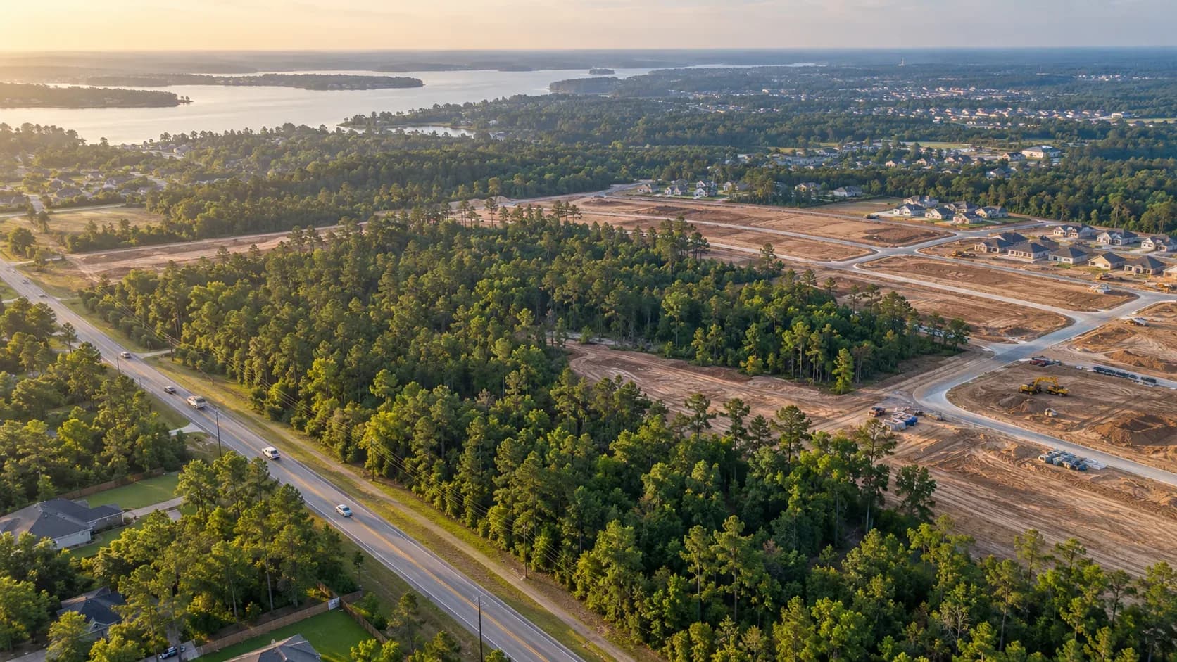
Image disclosure: All four images are AI-generated editorial illustrations. They are not photographs of the Stewart’s Creek site, FM 3083, SH 75 or a Conroe City Council meeting.