Part 2: The Houses Are Coming. Who Pays for the Roads, Water and Drainage?
The houses are only part of the bill. Part 2 follows the roads, drainage, utilities, special districts and property taxes behind the growth taking shape along FM 1488.
The houses are only part of the bill. Part 2 follows the roads, drainage, utilities, special districts and property taxes behind the growth taking shape along FM 1488.
Part 1 note: Part 1 followed what is being built along FM 1488 and how long the Longleaf project had been moving before the clearing became visible. Part 2 follows the less visible side of the same story: infrastructure and the money behind it.
When the woods disappear and hundreds of lots begin taking shape, the next question comes almost automatically: who is paying for all of this?
It sounds like one question. It is really several. The road outside the development can be a state transportation project. Streets, detention ponds and utility lines inside the development can begin as private development costs. A municipal utility district can finance certain eligible infrastructure through bonds. Schools, counties and special districts collect their own property taxes. And land that sits in a city's extraterritorial jurisdiction can be subject to city planning review without automatically paying city property tax.
That is why the answer to "who pays?" is not one name. It is a stack of different bills, paid by different people at different times.
Part 1 established the scale of Longleaf: three preliminary subdivision sections totaling about 73 acres and 308 lots, plus a separately documented multifamily component in the same broader development area. Now we can follow what has to exist around those rooftops before the neighborhood really works.
The Road Everybody Sees Is the Easiest Bill to Separate
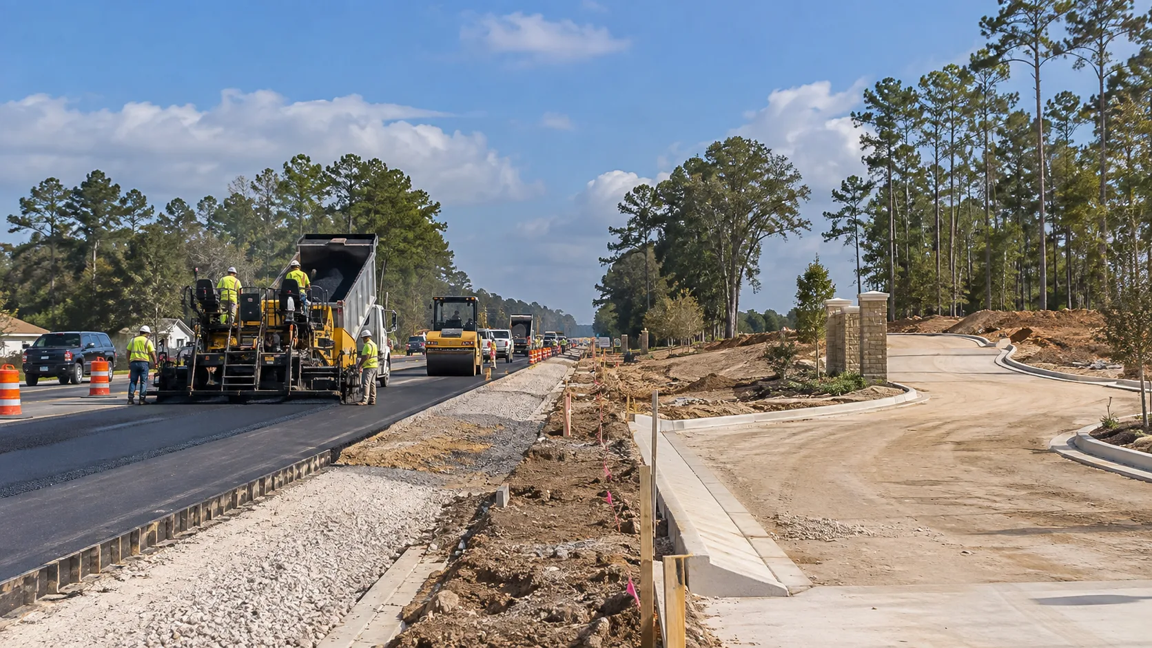
The biggest mistake would be to look at Longleaf, look at the FM 1488 construction, and assume the subdivision caused the highway project. The public record says otherwise.
TxDOT planning documents had the FM 1488 widening from FM 1774 in Magnolia to west of FM 149 moving years before the Longleaf plats appeared. In a January 2021 Transportation Improvement Program modification, that segment was listed as a four-lane widening project with $46.04 million in construction funding, converted to 100% state funds. Magnolia also sought a State Infrastructure Bank loan of up to $1.0925 million in 2021 for the city's participation and utility relocation connected to the state highway project.
In other words, the highway work is a public transportation project with its own financing history — not a subdivision street being handed directly to Longleaf homebuyers. Growth can make an old road problem feel more urgent, but this particular road project was already on the books before Longleaf became part of the roadside view.
Inside the Development, It Is a Different Set of Costs
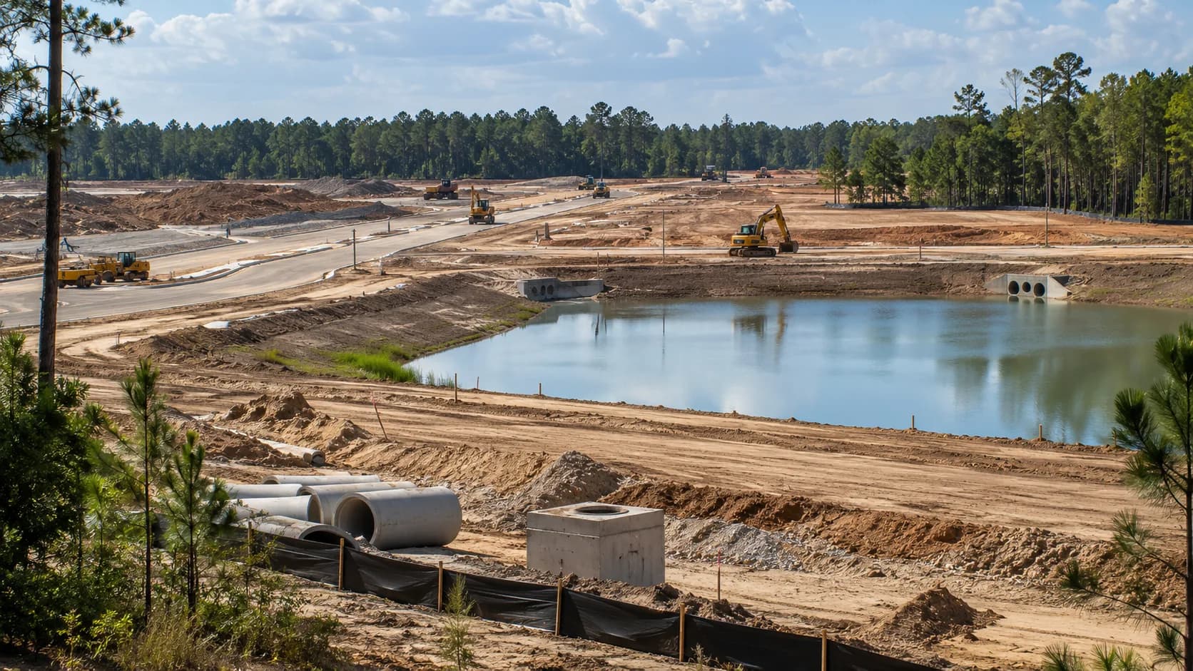
The preliminary Longleaf plat reviews show the quieter infrastructure that most drivers never see: street connections, right-of-way, utility easements, drainage, detention and the engineering details needed before lots can become homes. Those internal systems are not the same project as the FM 1488 widening.
At the beginning, developers commonly front the cost of building eligible water, wastewater, drainage and related facilities. Texas Commission on Environmental Quality guidance specifically addresses developer-built facilities and the rules for later reimbursement by a water district. That reimbursement is not automatic. Plans, approvals, contracts and district financing have to meet state requirements.
That is where the financing becomes less obvious from the road. A developer may write the check first. A district may later issue bonds for eligible infrastructure. Property owners inside that district may then help repay those bonds over time through district taxes. The person holding the shovel and the person ultimately carrying the long-term cost are not necessarily the same person.
A MUD Can Move an Infrastructure Bill Through Time
Municipal utility districts are common in fast-growing parts of Texas because they can provide a financing structure for infrastructure outside a traditional city utility system. The Texas Legislature created Montgomery County Municipal Utility District No. 201 in 2021. Its enabling law gives the district authority to issue bonds and to impose assessments, fees and taxes, subject to the requirements that apply to the district.
In February 2025, Magnolia's City Council gave written consent to the addition of approximately 60.357 acres to MUD 201. That tells us there is active special-district infrastructure financing in this growth area. It does not, by itself, answer every Longleaf question.
Dock Line could not verify from the public records available that the 60.357-acre MUD 201 addition is the same tract as the Longleaf subdivision land, nor could we verify that every future Longleaf home will be taxed by MUD 201. We also did not find a reliable current MUD tax rate that can be assigned to Longleaf. So we are not going to publish one.
That is an important line to hold. A MUD tax can be a major part of a homeowner's total property-tax rate, but only if the property is actually inside that district and the district has adopted the tax. The correct number has to come from the final taxing-jurisdiction record for the individual property, not from a nearby map or a similar acreage figure.
Water, Sewer and Drainage Are Where the Map Really Matters
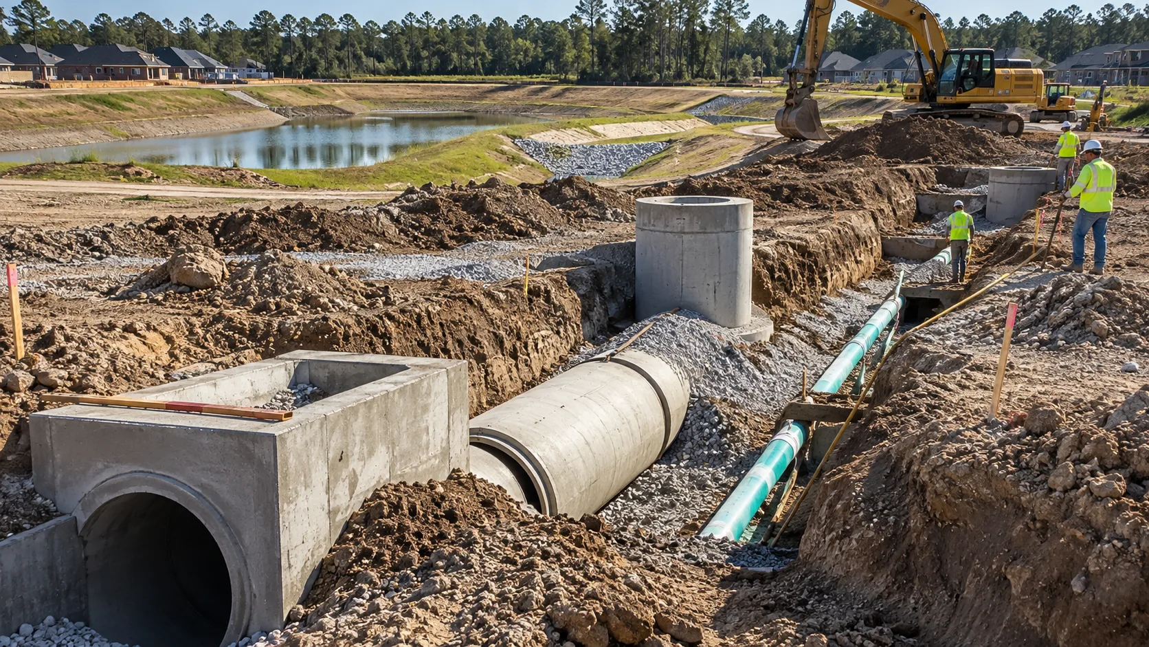
A Magnolia mailing address does not necessarily tell a buyer who provides water, who handles wastewater, who owns the detention system or which special districts appear on the tax bill.
The Longleaf preliminary plats were described by the City of Magnolia as being in the city's extraterritorial jurisdiction, or ETJ. Texas law is clear that simply being in a city's ETJ does not, by itself, authorize the city to impose a tax there. That means a property can go through Magnolia's plat-review process and still not automatically owe the City of Magnolia property-tax rate. The exact taxing units depend on the property's actual boundaries and legal jurisdictions.
The same caution applies to utility service. The preliminary plat record shows that utility and drainage questions were part of the engineering review. It does not give us enough clean evidence to name one final water-and-sewer provider for every Longleaf component. Until final service maps, district boundaries and utility agreements are clear, that answer should remain property-specific rather than guessed.
Why a Tax Rate Can Fall While a Tax Bill Still Rises

This is where the growth conversation usually gets tangled. A property-tax bill is built from two moving pieces: taxable value and the tax rates of the jurisdictions that overlap the property. Texas can have a county, school district, emergency services district, hospital district, college district, MUD or other special district all appearing on the same bill. A city rate only belongs there when the property is actually subject to that city's tax.
For a simple illustration: a tax rate of 10 cents per $100 of taxable value equals $100 a year for every $100,000 of taxable value. On a $400,000 taxable value, that same 10-cent rate would equal $400 a year. Change the value, add or remove a taxing district, or change one of the rates, and the final bill changes.
Magnolia ISD offers a timely example of why the rate and the bill are not the same thing. In August 2026, the district adopted a tax rate of $0.9325 per $100 of taxable value — a 2.6-cent reduction. Voters had also approved a $465 million bond in May. The district says the bond can be issued without increasing the tax rate because existing debt capacity and new taxable value from growth can support the Interest and Sinking side of the budget.
That does not mean every homeowner's school-tax bill automatically falls. If taxable value rises enough, a lower rate can still produce a higher dollar bill. The same mathematics applies across the other taxing units on the statement.
Public Planning Is Still Happening While Private Development Moves
There is another layer beyond the big TxDOT widening project. Magnolia's 2026 economic-development project worksheet set aside $200,000 for an East Magnolia Mobility & Safety initiative along FM 1488 between Mill Creek Road and Community Road. The city described the work as traffic and safety planning intended to improve operations, flow, connectivity and travel where the corridor interacts with mixed-use development. The worksheet also noted the initiative had not yet started.
That is not a Longleaf construction bill, and it should not be presented as one. It is evidence of something broader: public agencies are still adjusting the transportation system while private development continues to add homes, apartments, stores and trips.
So when residents ask, "Were we ready?" the paper trail does not give a neat yes-or-no answer. Some infrastructure planning predates Longleaf by years. Other mobility work is still being studied as the growth happens. Both things can be true at the same time.
So Who Pays?
Major FM 1488 widening: Public transportation funding. The project predates Longleaf; TxDOT programming showed state construction funds, with Magnolia separately financing part of its utility-relocation and local-participation obligation.
Internal subdivision streets, drainage and utility work: Initially part of developing the site. Eligible facilities can later be reimbursed through a qualifying district financing structure if legal, engineering and TCEQ requirements are met.
MUD bonds and operations: Property owners inside the specific MUD can repay district debt and operations through district taxes and fees. A Longleaf-specific MUD rate should not be assumed until the actual boundary and adopted rate are verified.
Schools, county and other special districts: Property owners pay the taxing units that legally overlap their property, based on taxable value and each unit's adopted rate.
City of Magnolia property tax: Not automatic for land merely because it is in Magnolia's ETJ. ETJ status by itself does not authorize the city to impose a tax.
That is the answer hiding underneath all that bare ground: growth arrives with more than houses. It arrives with financing structures, overlapping jurisdictions and infrastructure that can be paid for years before or years after the first family moves in.
Part 1 was about what the bulldozers made visible. Part 2 is about the ledger underneath it. The next time somebody asks, "Who is paying for all of this?" the most accurate answer may be: first tell me which road, which pipe, which district and which property. Then we can follow the money.