A British Army Camped in Hockessin. Its Headquarters Was Lost for 240 Years.
Two days before the Battle of Brandywine, British forces under Howe and Cornwallis occupied the farms and roads around Hockessin. The location of Howe's headquarters then vanished from local memory for nearly 240 years — until a former DuPont chemist rebuilt the map.
Two days before the Battle of Brandywine, British troops filled the roads and farms around Hockessin. General William Howe established his headquarters near what is now Hockessin Greene — then that location disappeared from local memory for nearly 240 years.
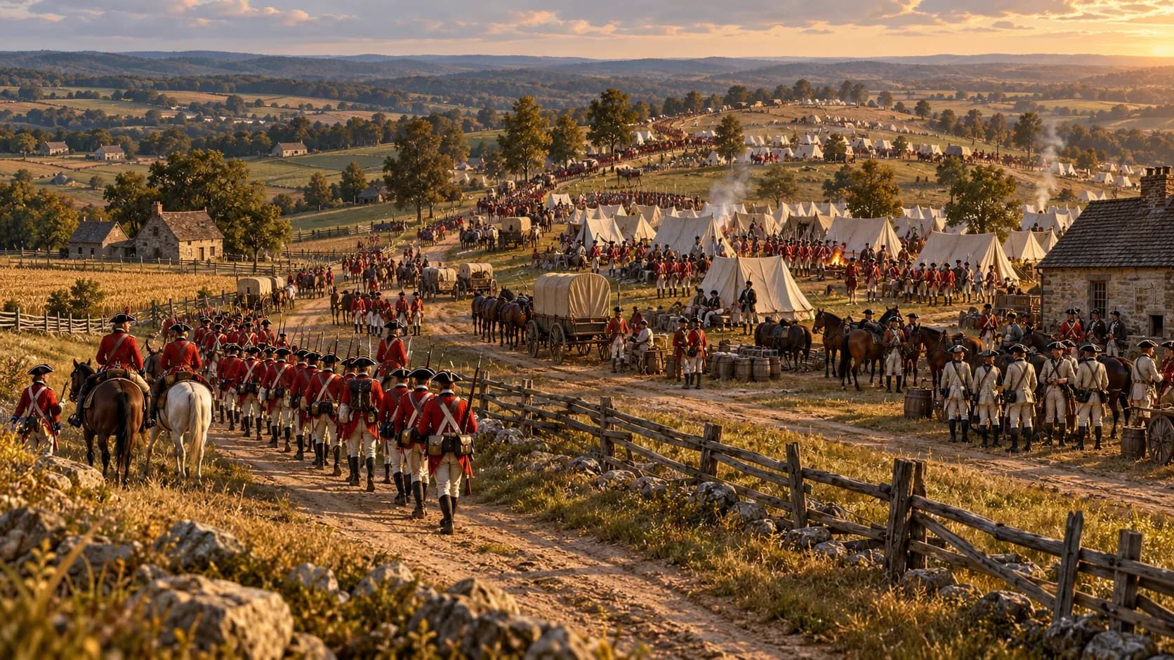
On September 8 and 9, 1777, Hockessin became the headquarters of an invading army. British General Sir William Howe occupied a farmhouse near present-day Limestone Road and Sheringham Drive. Generals Charles Cornwallis, James Grant and Wilhelm von Knyphausen joined him there. Troops and encampments spread along the Limestone Road ridge, with part of the force reaching the Hockessin Friends Meetinghouse. The army was moving toward Pennsylvania. George Washington was waiting, and the Battle of Brandywine was only days away.
For generations, local historians knew Howe had stayed at the home of Daniel Nichols. They no longer knew where that home had been. The location remained a Revolutionary War mystery until a Hockessin resident reconstructed the old property lines and placed Howe's headquarters near today's Hockessin Greene community.
An Army Came Up the Chesapeake
Howe's target was Philadelphia, then the seat of the Second Continental Congress and the political center of the new United States. Rather than attack from New York across New Jersey, Howe moved about 15,000 to 16,000 British and German troops by sea. After a long voyage, the force landed near the Head of Elk — present-day Elkton, Maryland — on August 25, 1777.
The army advanced into northern Delaware. On September 3, American light infantry under General William Maxwell fought the British advance guard near Cooch's Bridge. The engagement delayed Howe, but it did not stop him. British forces remained in the Iron Hill area for several days while Howe prepared his next move.
Washington expected the British to approach Wilmington and Philadelphia along the main roads to the east. He established defensive positions near White Clay Creek and Red Clay Creek. On September 6, Washington and senior officers met at the Hale-Byrnes House to consider how they would meet Howe's advance. Howe went another way.
The Road Turned Toward Hockessin
On September 8, Howe made movements that appeared to threaten the American positions while sending the main body of his army north through the Newark area. The route carried the British through Mill Creek Hundred and toward the Pennsylvania line. That placed Hockessin directly in the path of the Philadelphia campaign.
The Delaware Public Archives says Howe used the Daniel Nichols house as his headquarters during the September 8 and 9 encampment. The house stood about 100 yards east of the historical marker now placed along Limestone Road, south of the entrance to Hockessin Greene.
The headquarters was more than a place for Howe to sleep. Cornwallis, Grant and Knyphausen met him there as separate parts of the army gathered before moving toward Kennett Square and Brandywine. A 2017 account preserved by the Delaware Public Archives estimated that encampments occupied three to five square miles along the ridge, from the Pennsylvania line toward what is now Carousel Park. Mill Creek Hundred had only about 1,500 residents.
Local Families Paid for the Campaign
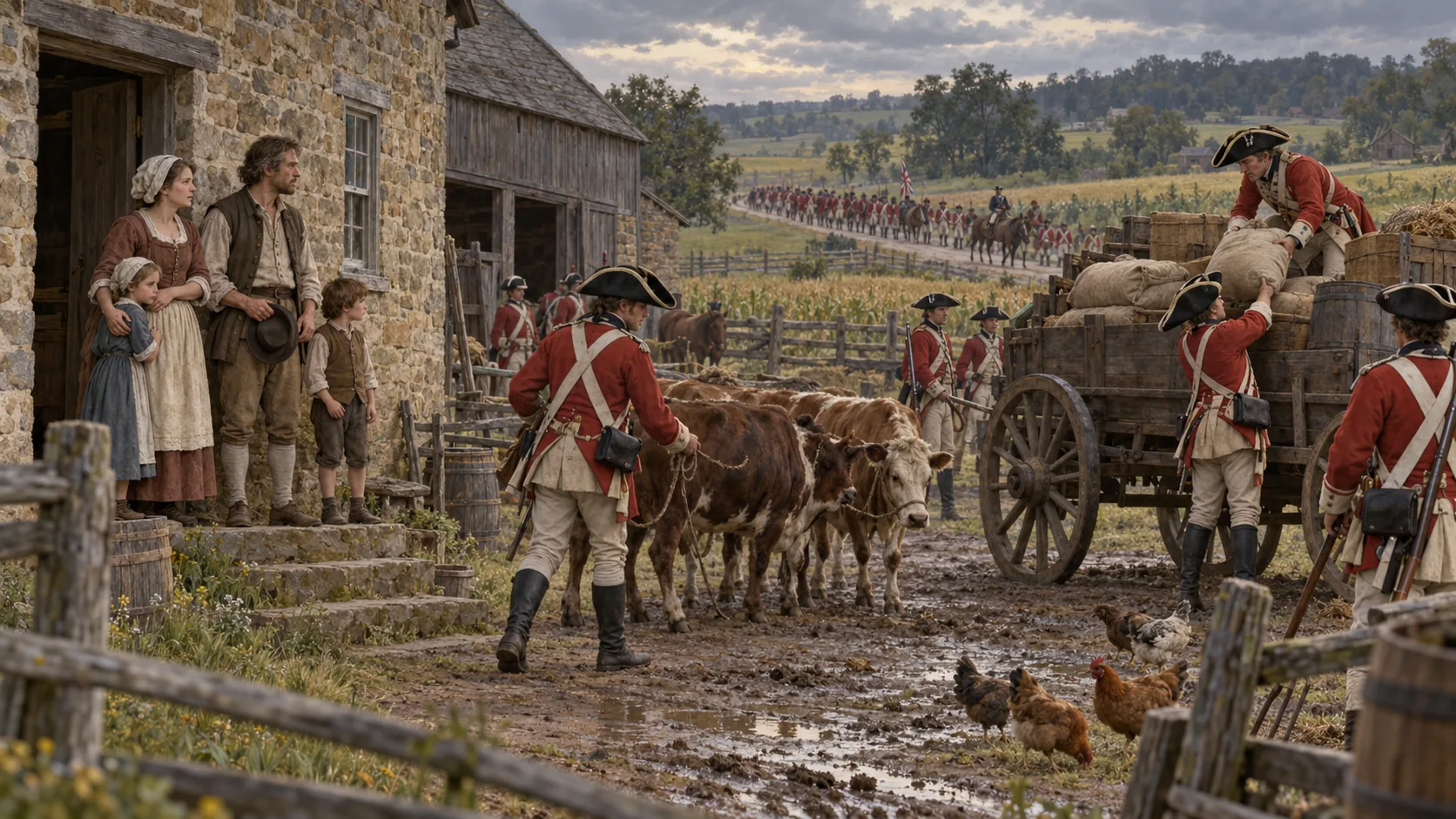
The British army needed horses, livestock, grain and other supplies. Much of it came from the farms in its path. The historical marker for the Daniel Nichols House states plainly that the army ransacked farms and took livestock and provisions.
The loss was not limited to a single property. An army many times larger than the local population moved across a farming community near harvest time, consuming or carrying away what families needed for the coming winter. Some residents fled their farms. Those who remained faced thousands of soldiers, military wagons and animals spread across the roads and fields.
The march to one of the Revolution's best-known battles created a quieter local disaster before the armies ever met. That is easy to miss in histories that move quickly from the landing at Head of Elk to the fighting at Brandywine. Hockessin was part of the space between those events, and local families absorbed the cost of moving the British army through it.
Cornwallis Camped at the Meetinghouse
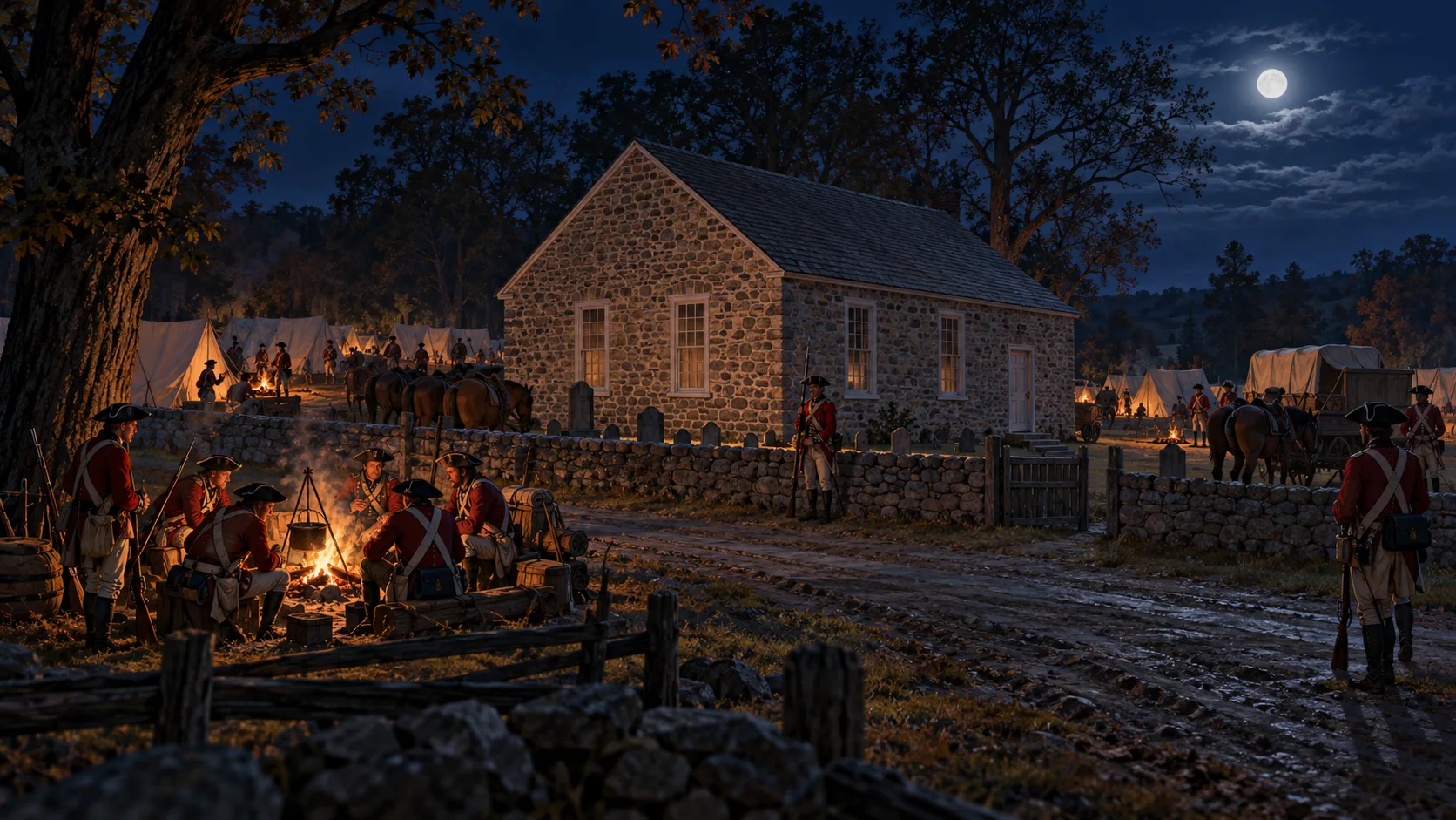
The Hockessin Friends Meetinghouse had already stood for nearly 40 years when British troops arrived. The one-story fieldstone building was constructed in 1738 and enlarged in 1745. It served as a center of worship and community life for area Quakers.
On the night of September 9, troops under Lord Cornwallis camped at the meetinghouse on their way toward Brandywine. The building still stands at 1501 Old Wilmington Road and remains an active place of worship. That surviving structure makes the story unusually tangible — the army stopped beside a building Hockessin residents can still visit today.
Brandywine Opened the Road to Philadelphia
By September 11, Howe's army had reached the Brandywine Creek in Pennsylvania. Cornwallis led the major flanking movement around Washington's right while Knyphausen pressed the American position at Chadds Ford. The British won the battle, although Washington withdrew enough of his army to keep fighting. British forces entered Philadelphia on September 26. The Continental Congress had already fled the city.
The victory did not end the war, but it completed the immediate campaign that had brought Howe, Cornwallis and thousands of soldiers through Hockessin.
A Chemist Rebuilt the Missing Map
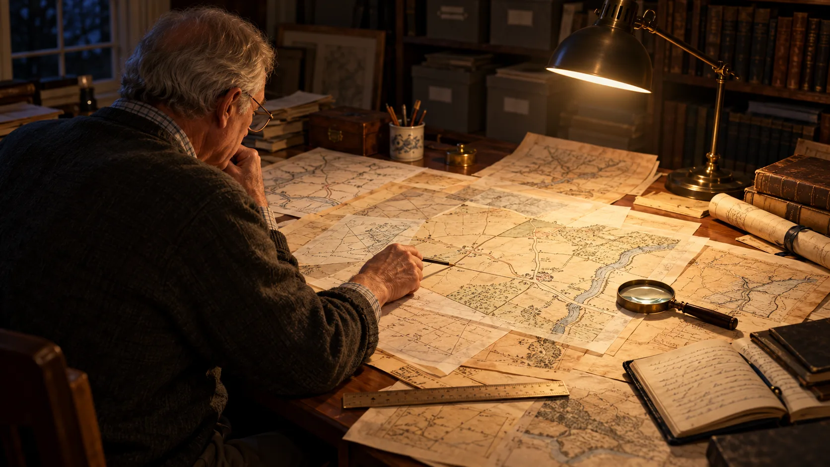
The army's route remained part of local history, but the location of Howe's headquarters faded from memory. Accounts referred to the Daniel Nichols house without showing later researchers exactly where it had stood.
Hockessin resident Walt Chiquoine, a former DuPont chemist, took up the problem. He spent about 2,000 hours studying colonial deeds, property transfers, neighboring tracts, diaries, journals and military records. Starting with land records dating to the 1600s, he gradually rebuilt the property map around the old Nichols holdings. His work placed the headquarters on land now occupied by the Hockessin Greene community near Lantana Square.
In 2017, state officials and local historians installed a marker recognizing the site, 240 years after the encampment.
The original headquarters may be gone, but two points on the modern Hockessin map preserve the story. One marker identifies the area where Howe directed his army. A few miles away, the Friends Meetinghouse still stands where Cornwallis's troops camped. Cars now move along Limestone Road where military columns once gathered. The familiar shopping centers and neighborhoods give little warning that, for two September days, the campaign to capture Philadelphia ran directly through Hockessin.