Delaware's Highest Point Is Beside a Wilmington Road. Most Drivers Never Notice.
Delaware's highest monumented point sits beside a North Wilmington road, while nearby ground may be higher and a 1940s relay tower tells another story.
Delaware's highest monumented point sits beside a North Wilmington road, while nearby ground may be higher and a 1940s relay tower tells another story.
If you set out to visit the highest point in a state, you probably expect a trailhead, a steep climb or at least a view worth stopping for. In Delaware, you can reach the top without realizing you have arrived.
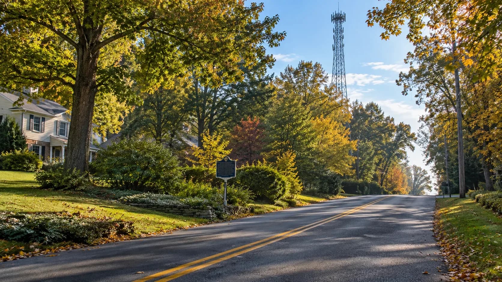
Near the Pennsylvania line in North Wilmington, a small historical marker and a survey disk identify Ebright Azimuth, Delaware's highest monumented spot. It is beside an ordinary road in an ordinary neighborhood. There is no summit lodge, observation platform or long approach. A driver could pass it in seconds and never know the highest measured marker in the state was just outside the window.
That unremarkable setting is what makes the place interesting. Delaware's high point is not a grand natural landmark towering over everything around it. It is a quiet piece of geography hiding in plain sight.
The number on the marker is not the whole story
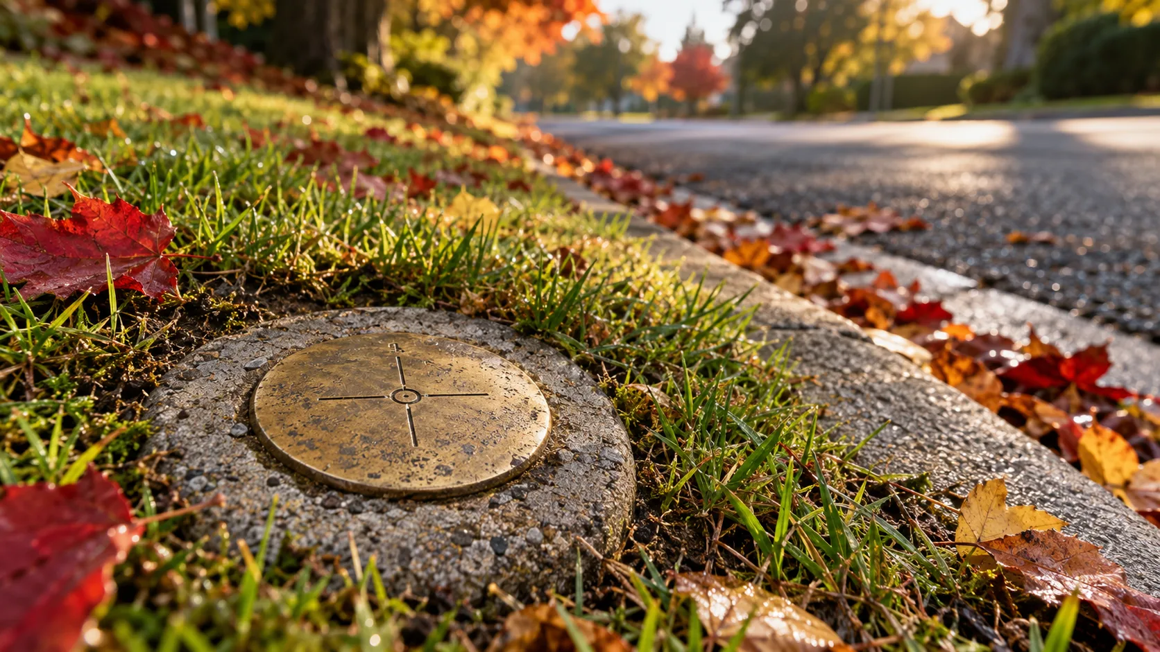
The Ebright Road benchmark, identified by the National Geodetic Survey as EBRIGHT AZI, was measured at 447.85 feet above sea level. Delaware Public Archives describes it carefully as the state's highest benchmark monument and says it lies in the vicinity of Delaware's highest natural elevation. The careful wording matters.
Additional surveying and elevation data derived from LiDAR found areas just west of Ebright Road that are at least two feet higher than the disk. The Delaware Geological Survey places the state's highest actual natural ground at roughly 450 feet above sea level. In other words, the famous marker is the highest officially monumented point, but the true highest ground may be a modest patch of nearby land rather than the spot beneath the sign.
For years, some Delawareans argued that Centreville held the state's highest point. Its benchmark measures 445.58 feet, a little more than two feet below the Ebright disk. Modern measurements settled that part of the argument while creating a more precise distinction between the marker people visit and the highest natural ground around it.
Ebright is also not the lowest state high point in the country, despite a long-running piece of trivia that says otherwise. Florida's Britton Hill is lower at 345 feet. Delaware's high point is still modest, but it is not last.
Why Delaware rises here
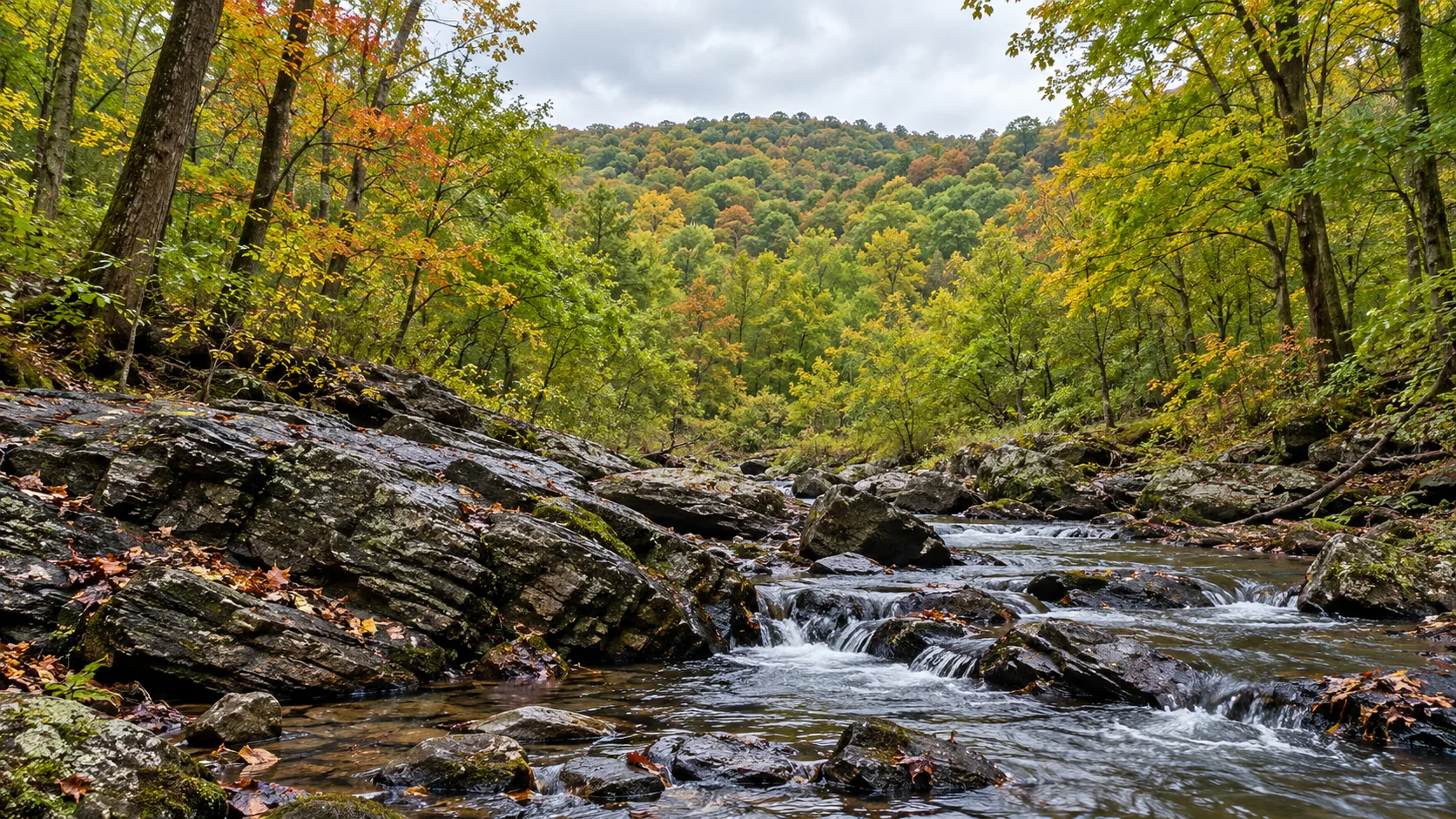
Most of Delaware lies on the Atlantic Coastal Plain, the broad, low landscape people associate with the Delmarva Peninsula. Northern New Castle County is different. It reaches into the Appalachian Piedmont, the rolling foothill region that continues north and west beyond the state line.
The Delaware Geological Survey says only the hills of northern New Castle County lie within the Piedmont. Beneath them are hard, ancient metamorphic and igneous rocks connected to the long geologic history of the Appalachian Mountains. The hills are gentle today, but they are the worn remains of a landscape shaped by mountain-building events hundreds of millions of years ago.
That is why the state's high ground gathers in the Wilmington area rather than near the beaches or farther south. Ebright Azimuth is not a mountain summit, but it stands in Delaware's small surviving piece of Appalachian country.
The tower beside it tells another story
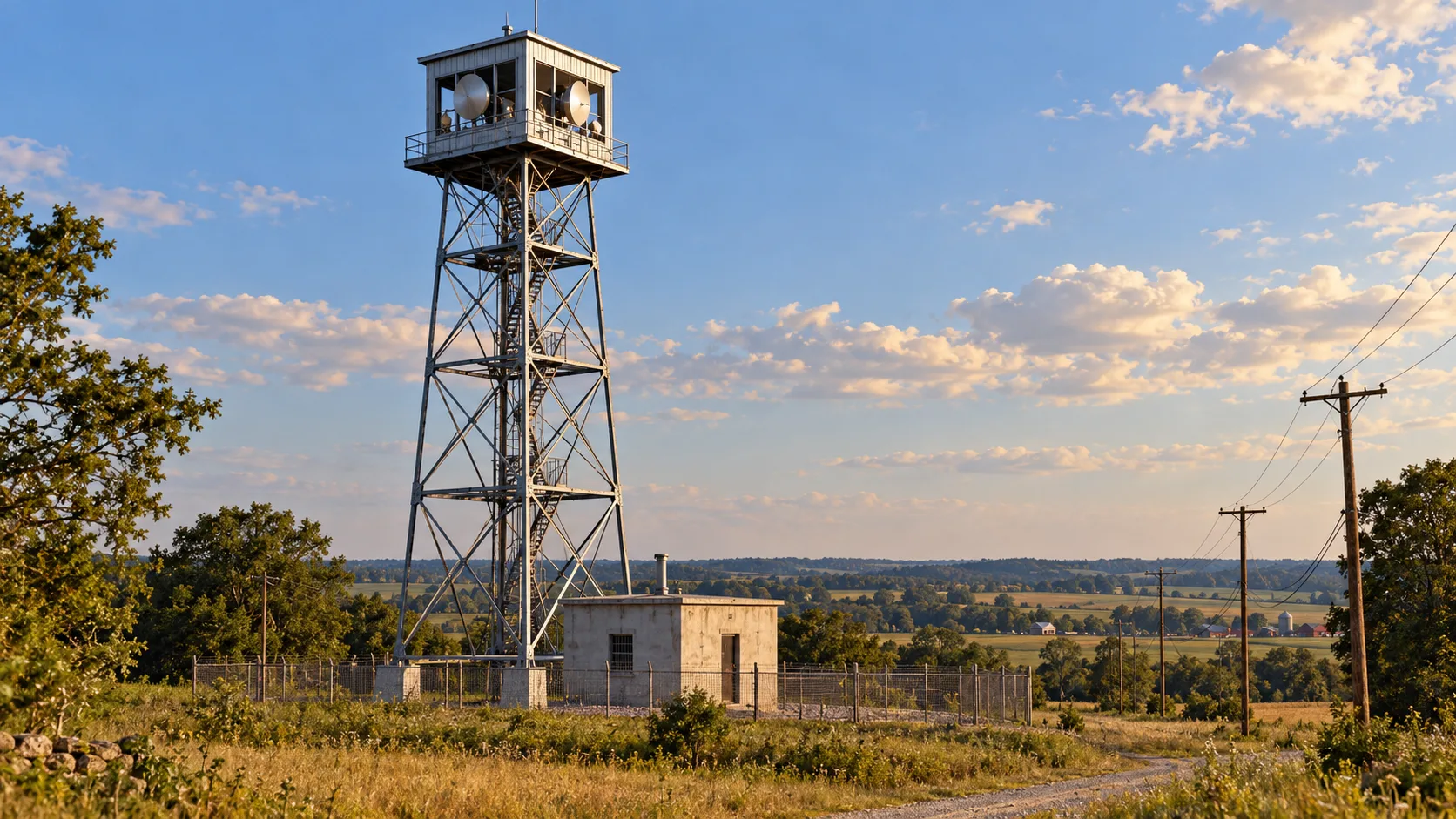
The high ground attracted more than surveyors. Near Ebright Azimuth stands a steel tower built by Western Union between 1945 and 1947 as part of an early microwave radio relay system connecting New York and Washington. The University of Delaware's digital collection describes the structure as a prefabricated tower adapted from a U.S. Forest Service fire lookout. Microwave equipment and dish antennas occupied the enclosed cab at the top, while a small automated equipment building operated below.
Signals could be passed from tower to tower across long distances without a continuous wire between the cities. Long before fiber-optic networks carried enormous amounts of information beneath the ground, engineers were using Delaware's highest ridge to move communications through the air. The tower is a reminder that elevation mattered not only to mapmakers but also to the technology that connected the East Coast.
A landmark that does not announce itself
Ebright Azimuth is easy to underestimate because it does not look important. The road continues, the neighborhood carries on around it and the land rises so gradually that the state's highest point feels like almost any other corner of North Wilmington.
But within that small roadside area are three different stories: an official benchmark, a higher patch of natural ground revealed by better technology and a surviving tower from an earlier communications revolution. None of them needs a mountain backdrop to matter.
The marker is listed near 6 Winterset Road in Wilmington. Anyone who visits should remember that this is a residential area, view the marker from the public roadside and respect neighboring private property. The reward is not a sweeping view. It is the realization that one of Delaware's most unusual landmarks has been sitting quietly beside the road all along.