Texas Readies Flood-Rescue Resources. Friday’s Forecast Points to Weekend Rain in Deep South Texas
TDEM announced additional flood-response resources Nov. 6. The NWS Brownsville Friday forecast called for weekend rain and possible isolated flash flooding.
Texas announced additional flood-response resources Friday, Nov. 6, ahead of a weekend rain threat. The forecast below is time-stamped; it is not a live warning bulletin.
Gov. Greg Abbott said Friday that he directed the Texas Division of Emergency Management to mobilize additional state emergency response resources ahead of the storms, according to a TDEM news release. "I urge all Texans to remain weather-aware, monitor local forecasts, avoid flooded roadways, and heed guidance from state and local officials," Abbott said.
In its Nov. 6 announcement, citing the National Weather Service, TDEM said multiple rounds of thunderstorms in South and West Texas were expected to begin Friday night and last through the early part of next week. The main threat is heavy rain that could cause flash flooding, especially in the Rio Grande Valley, the Texas border and the Coastal Bend. Check your local National Weather Service office for the latest watches and warnings, since forecasts can change by the hour.
The NWS Brownsville forecast discussion issued at 12:40 p.m. CST Nov. 6 called for moderate rain chances Saturday and higher chances Sunday and Monday in Deep South Texas. Most areas were expected to receive 1 to 3 inches through Monday evening, with locally higher totals possible. It described a marginal excessive-rainfall risk Saturday and Monday and a slight risk Sunday; these outlook categories are not flood warnings. That discussion listed no Texas watches, warnings or advisories for its Brownsville forecast area at issuance. It does not establish conditions elsewhere or at publication time. Consult current local alerts before traveling.
Who the state has on standby
According to TDEM, the resources available to support local responders include:
Texas A&M Task Force 1 and Task Force 3, through the Texas A&M Engineering Extension Service, with swiftwater and floodwater rescue boat squads and high-profile vehicles for flood rescues.
Texas Parks and Wildlife game wardens, rescue boat teams and helicopters with hoist capability.
Texas Department of Public Safety troopers, hoist-capable helicopters and the Tactical Marine Unit.
Department of State Health Services severe weather packages of medics, ambulances and all-terrain vehicles through the Texas Emergency Medical Task Force.
TxDOT crews monitoring roads, and AgriLife Extension agents to help with agricultural and livestock needs.
The Public Utility Commission watching for power outages, the Railroad Commission monitoring natural gas supply and the TCEQ monitoring air, water and wastewater.
That is a serious list. But no boat squad can reach everybody at once, and the best rescue is the one that never has to happen.
The rule that saves the most lives
The National Weather Service says more deaths occur each year from flooding than from any other thunderstorm-related hazard. On its Turn Around Don't Drown safety page, the agency cites Centers for Disease Control and Prevention data showing that more than half of all flood-related drownings happen when a vehicle is driven into hazardous floodwater. The next largest share comes from people walking into or near floodwater.
The numbers are sobering:
Six inches of fast-moving water can knock over an adult.
Twelve inches of rushing water can carry away most cars.
Two feet of rushing water can carry away SUVs and trucks.
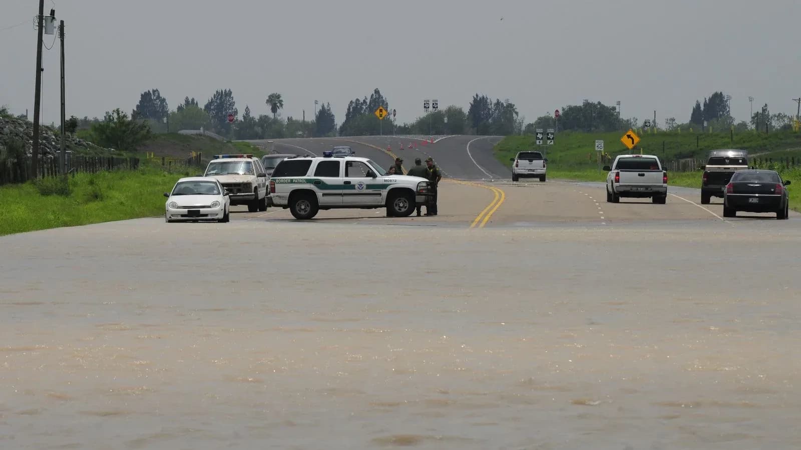
The Weather Service is blunt: "It is NEVER safe to drive or walk into flood waters." It warns never to drive around barriers on a flooded road, because the road beneath the water may have collapsed.
Texans with big pickups tend to think the rule is for somebody else. It is not. Two feet of moving water does not care what you drive.
What to do before the rain
TDEM urges Texans to make an emergency plan, pack an emergency supply kit and follow directions from local officials. The state points to several free tools:
TexasReady.gov for storm safety tips.
DriveTexas.org for current road conditions and closures.
TexasFlood.org for flood information.
tdem.texas.gov/prepare for all-hazards preparedness.
A few common-sense steps go with those. Know your route to work and church, and know which low-water crossings on it flood first. Charge phones and keep weather alerts turned on. Check on elderly neighbors and anyone who lives alone. If you farm or ranch in a creek bottom, move livestock and equipment to higher ground while conditions are safe, not after the water rises.
Texas has learned hard lessons about flash floods. Our earlier report on new satellite flood-warning efforts explains why those systems will take years to build, which is all the more reason to have a plan now.
A word to families
Prudence is a virtue. Proverbs says the prudent man sees danger and hides himself, while the simple pass on and are punished. Watching the forecast, keeping a kit and turning the truck around at a flooded crossing is not fear. It is wisdom, and it is love for the people who would have to come looking for you.
So pray for rain that soaks in and does no harm. Pray for the game wardens, troopers and rescue crews preparing to respond. And when you come to water over the road, turn around.