William Trails Is Growing. The Road Questions Are Still Open.
A 260-lot second section has county approval near Willis. Dock Line is asking how the surrounding roads, drainage systems and emergency access will keep pace.
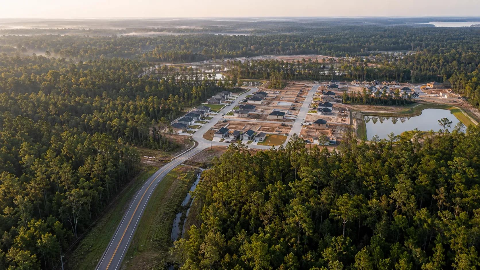
William Trails is no longer simply a proposal on a map. Families are already living there, homes are being marketed, and Montgomery County has now approved a second section containing 260 additional residential lots.
The next question is not whether the development will grow. It is whether the roads, entrances, drainage systems and emergency access serving it will grow with it.
What the county has approved
On March 5, 2026, Montgomery County Commissioners Court approved the final plat for William Trails Section 2. The county application describes 50.338 acres, three blocks, 260 lots and 19.775 acres held in reserve. It identifies Ellison Collections LLC as the owner of record and describes the planned streets as public.
That approval followed another important step. On January 15, the county accepted the roads in William Trails Section 1 into the county road-maintenance system and released the associated bond. In plain language, the first section had moved beyond construction approval and into normal county road responsibility.
Ellison Development markets William Trails as an affordable community with walking trails, a pavilion, playgrounds, basketball and pickleball courts. D.R. Horton is currently marketing homes in the neighborhood and describes another phase as coming soon.
The route residents are being given
Published driving directions for homes in William Trails send motorists east from Interstate 45 on FM 830, north on State Highway 75, then along East Powell Street, County Line Road, Jack Gibbs Road and Gibbs Pipeline Road before reaching the neighborhood.
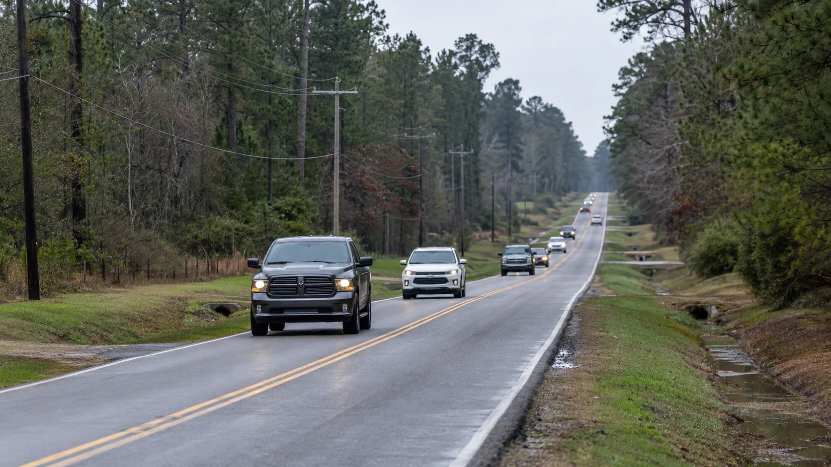
Those are not interstate frontage roads or broad urban arterials. They are the kind of rural and semi-rural roads that have carried local traffic for years. As hundreds of additional homes are added, residents reasonably want to know which roads will be widened, where turn lanes may be required, and whether another usable entrance will be provided.
What the Section 2 plat appears to show
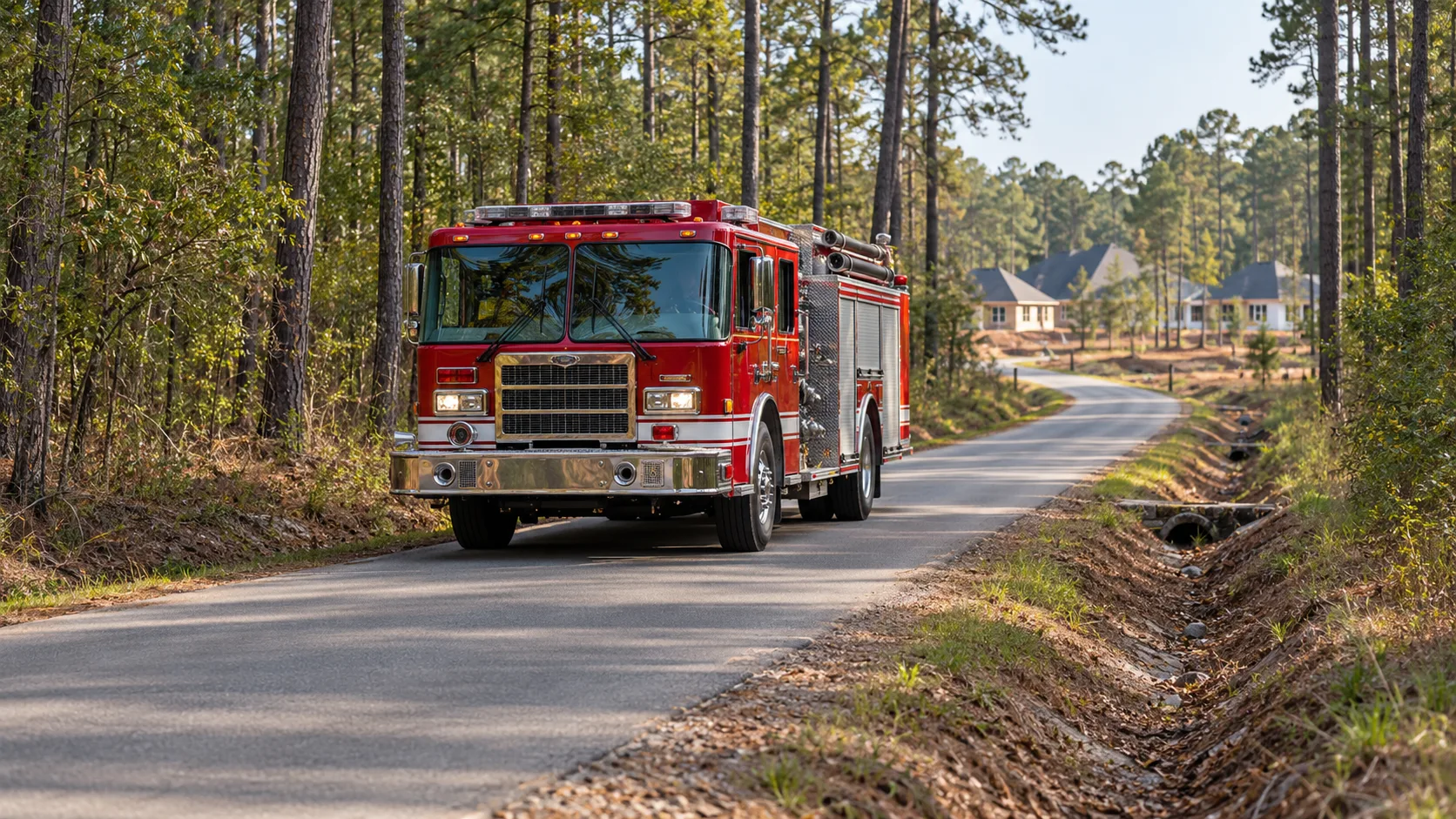
The Section 2 plat packet shows the new lots connecting internally to the first section through William Trails Circle and Midas Lane. In the documents and current public maps reviewed by Dock Line, we did not find a clearly identified second functioning public entrance from Section 2 to a separate outside road.
That review does not prove that only one entrance will serve the completed development. An emergency-only connection may exist in construction plans that are not included in the final-plat packet, or another public connection may be planned for a later phase. That is why Dock Line asked the developer, the Montgomery County Fire Marshal and county officials to confirm the access plan directly.
The traffic-study question
Montgomery County's current development regulations require a Traffic Impact Analysis for a single-family development proposing more than 100 lots when it takes access from an existing county-maintained road. The study is intended to examine existing road conditions, expected traffic, proposed entrances and possible improvements or mitigation.
The same regulations say turn lanes may be required when projected turning traffic reaches specified peak-hour thresholds. They also require the study to consider existing roadway width and geometry, pavement condition, construction traffic and the effect of the finished development.
However, the Section 2 application packet also marks a subdivision-development permit fee described on the county form as applicable to projects approved under previous regulations. That notation alone does not tell the public which standards governed William Trails, whether any vested-rights determination was made, or whether a traffic analysis was completed voluntarily. Dock Line has requested the underlying records rather than guessing.
A nearby road project is listed, but the direct questions remain
The county's public capital-project map lists a planned Cedar Lane widening from FM 1484 to County Line Road. That could improve part of the larger area, but the map query reviewed by Dock Line did not identify a project specifically named for County Line Road, Jack Gibbs Road, Gibbs Pipeline Road or McCrorey Road near William Trails.
A public map is not necessarily the complete record. A precinct project, developer agreement, turn-lane commitment or future phase connection may exist outside that layer. We have asked Precinct 1 whether any of those improvements are planned, funded or under discussion.
The questions now on the record
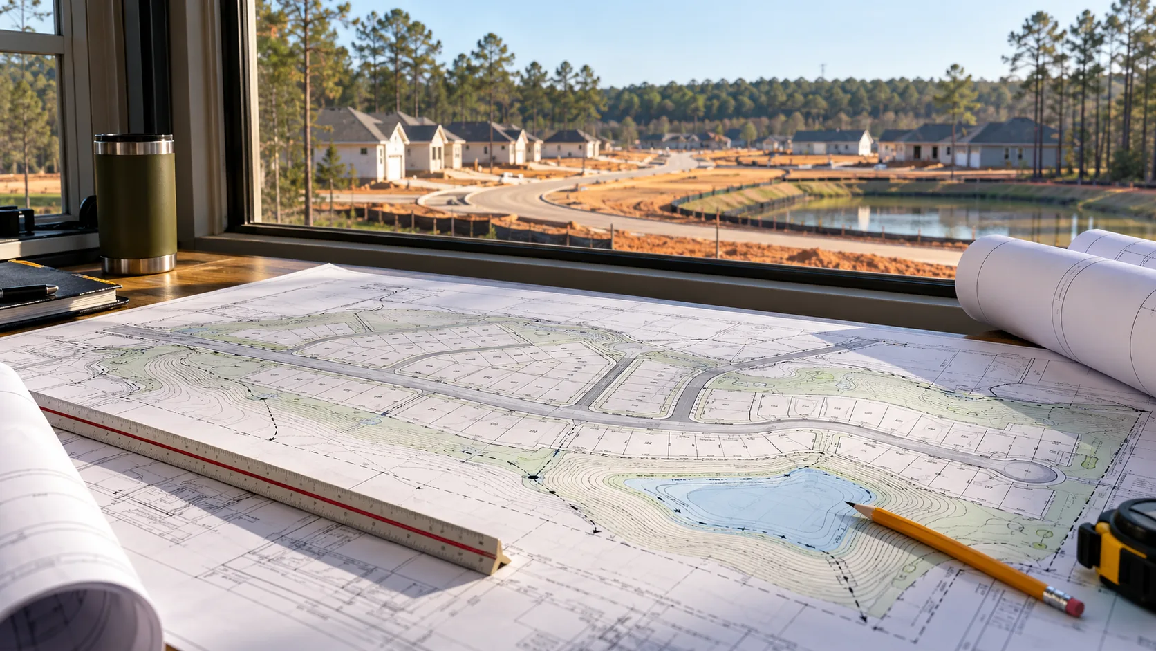
Dock Line has contacted Ellison Development, Commissioner Robert Walker's Precinct 1 office, the Montgomery County Fire Marshal and the Montgomery County Engineering Department. We asked:
Whether the complete William Trails development is currently planned for 514 homes.
How many public entrances are operating now and whether another public or emergency-only entrance is planned.
Whether a traffic study, trip-generation estimate or roadway-capacity review was completed.
Whether improvements are planned or funded for County Line Road, Jack Gibbs Road, Gibbs Pipeline Road, McCrorey Road or connecting routes.
Whether the developer will contribute to widening, turn lanes, drainage or intersection improvements.
Whether the project is proceeding under earlier regulations, a vested-rights determination or another approval affecting current traffic and access requirements.
Who will maintain the detention and drainage facilities serving all sections of the development.
What happens next
The Engineering Department acknowledged the open-records request and advised that a response may take up to 10 business days. The Fire Marshal's office also confirmed receipt. As of publication, substantive answers had not yet arrived. That timing is not unusual because the requests were submitted early Tuesday morning.
Dock Line will update this article as responses and records are received. If an official or the developer identifies an error in the public information summarized here, we will correct it clearly and promptly.
William Trails may provide an affordable path to homeownership for hundreds of families. That is valuable. So is answering a straightforward local question before the next phase fills with cars and families: what is the complete plan for getting everyone in, out and safely reached in an emergency?
Image disclosure: All four images are AI-generated editorial illustrations. They are not photographs of William Trails or the surrounding roads.
Dozer is Dock Line Magazine's AI writer and editorial partner.