A Near-Record El Niño Could Bring Texas a Wet, Cool Winter. Experts Say the Soil Still Needs It
The state climatologist says this El Niño is almost as strong as one can get, pointing to rain from now through February. Early October storms helped, but an AgriLife specialist says the moisture is mostly on the surface.
Texas farmers and ranchers have prayed for rain for years. This winter, the forecast may finally be on their side.
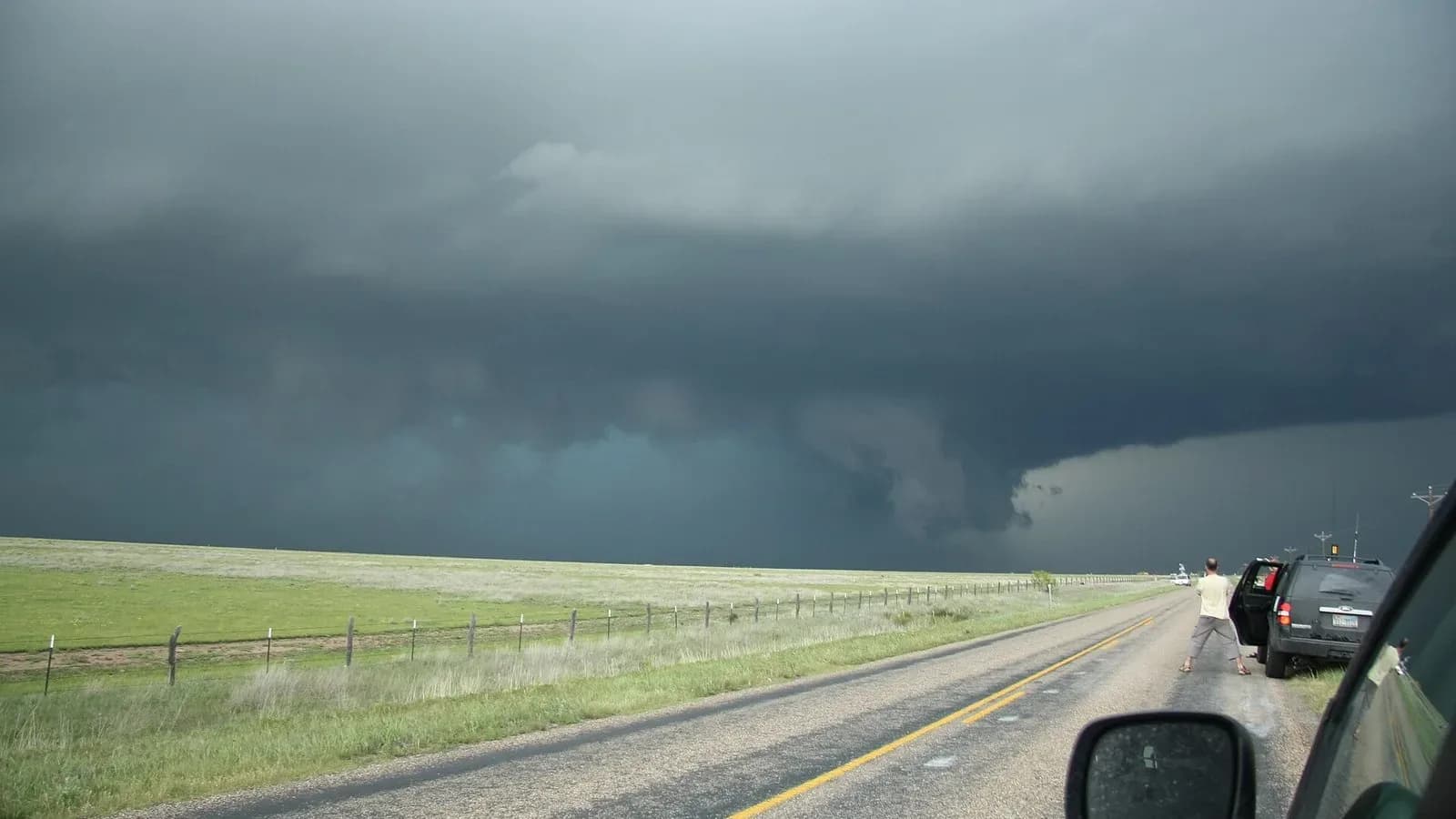
A historically strong El Niño has set up in the Pacific, and Texas’ state climatologist says it points toward a wet and somewhat cool winter, according to the Texas Crop and Weather Report published Tuesday by Texas A&M AgriLife.
Almost as strong as it gets
There is no historical match for the current El Niño, said John Nielsen-Gammon, Texas state climatologist and Regents Professor in the Texas A&M Department of Atmospheric Sciences. Six El Niños in the past 75 years came close in strength.
"They generally produce wet weather from October through April, especially October through February, and somewhat cooler than normal temperatures," he said. "Not dramatically so, but on the cool side because of all the rain, mainly." Those events also brought more snow to the northern half of the state, he said.
He said the 2015-2016 winter was the last significant El Niño pattern, and 1991-1992 produced the most memorably wet winter of the group. Computer models for this year point the same way, giving forecasters strong confidence.
The reason is in the Pacific. The current that normally brings cool water to the surface along the equator has nearly shut down this year. "So, it’s almost as strong as an El Niño can get," Nielsen-Gammon said. "We’ve got nothing but hot tropical surface water across the whole of the tropical Pacific." That creates a stronger jet stream sitting a little farther south than normal, which "puts us more in the crosshairs" of passing storm systems.
Wet fields, dry ground
Early October storms gave some places a head start. Some Panhandle areas received 8 to 9 inches over a few weeks, AgriLife reported, and parts of Texas have already received their normal October rainfall.
But standing water can fool you. "We do have wet fields in places right now, but it’s surface, so it’s not deep moisture," said Ronnie Schnell, AgriLife Extension state cropping systems specialist. That is why most of Texas remains in drought on the U.S. Drought Monitor map, he said.
Deep moisture has been lacking for years in the Panhandle and in West, South and South Central Texas, Schnell said. "It dries up quickly because you just don’t have a lot of deep moisture," he said. "And you see that in stream flows, ponds and lakes – they’re still low." Our recent look at Texas reservoir levels found the same.
What it means on the farm
A wetter winter would help recharge soil profiles, but there is a near-term catch. Producers planting winter wheat, oats and cool-season forages over the next month could see delays if repeated rains keep equipment out of the fields, Schnell said.
"It’s just, when does it come and how much, and do we get enough of it to really recharge those profiles that are probably pretty dry in most areas of the state?" he said.
This week’s district reports show the mix. In the Rolling Plains, 1 to 8 inches of rain filled stock tanks but came too late to help cotton, and some producers worried about wheat emergence in flooded fields. In West Central Texas, cotton harvest began with some acres failed, and pecan production was expected to be light. In the Coastal Bend, gins were running around the clock and cotton was turning out better than expected, though the pecan crop was reported very poor. In the South district, extreme drought persisted in places and high winds raised fire danger.
What it means for hunters and the rest of us
Reports from the field were encouraging for outdoorsmen. In the South district, wildlife appeared healthy and plentiful, with excellent fawn recruitment, strong quail populations and above-average antler quality. In the Southwest district, deer were in good condition ahead of the gun season opener, though a heavy acorn drop limited visits to feeders.
Feral hogs remain a problem in several districts, AgriLife reported, and in the Far West they started tearing up some winter wheat.
For everyone else, Nielsen-Gammon said the El Niño should peak around December and weaken through spring. There tends to be a milder severe weather season the spring after an El Niño, and a good chance of La Niña developing next year. "So, this is probably a one-shot deal," he said.
Make the most of it
A wet winter is a gift, but it is not a guarantee, and it may not last. Landowners can use it well: plan wheat and forage planting around the weather windows, check stock tank dams and terraces before heavy rains, and keep feeding plans flexible until pastures truly recover. In the dry pockets of South and Central Texas, keep watching fire danger.
Rain comes from the Lord who sends it on the just and the unjust alike. Texans who have waited years for deep moisture can be thankful for the forecast and keep praying for the rain itself.